
Country United States Area 85 ha Local time Tuesday 12:44 PM | Elevation 374 m Population 24 (2010) | |
 | ||
Weather 6°C, Wind NW at 23 km/h, 73% Humidity | ||
Ames is an unincorporated community and census-designated place in southern Dodge County, Nebraska, United States. As of the 2010 census it had a population of 24.
Contents
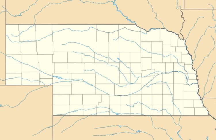
Map of Ames, NE 68621, USA
It lies along U.S. Route 30 west of the city of Fremont, the county seat of Dodge County. Its elevation is 1,227 feet (374 m) above sea level, and it is located at about 41°27′8″N 96°37′30″W (41.4523625, -96.6251658). Although Ames is unincorporated, it has a post office, with the ZIP code of 68621.
History
A post office was established at Ames in 1885, and remained in operation until it was discontinued in 1985. The community was likely named for Oakes Ames, a Union Pacific Railroad official. Ames was a station and shipping point on the Union Pacific Railroad.
References
Ames, Nebraska Wikipedia(Text) CC BY-SA