Established 1910 Elevation 307 m Local time Wednesday 2:38 AM | Postcode(s) 6461 Founded 1910 Postal code 6461 | |
 | ||
Weather 24°C, Wind E at 13 km/h, 52% Humidity | ||
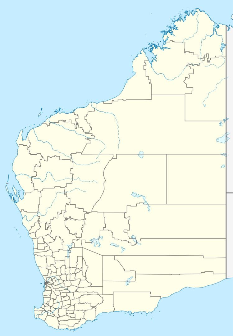
Amery is a rail siding and townsite 9 kilometres (5.6 mi) northeast of Dowerin in the Wheatbelt region of Western Australia.
History
Amery was first known as "Ejanding" in 1910. Its name was changed to Amery in 1928, apparently because another railway siding approximately 26 km further north was to be named Ejanding.
References
Amery, Western Australia Wikipedia(Text) CC BY-SA
