
Built 300-100 B.C. | Code DE-NI | |
 | ||
Height 325 m above sea level (NHN) Condition earth ramparts, earthworks Materials earthwork-edged wooden posted rampart | ||
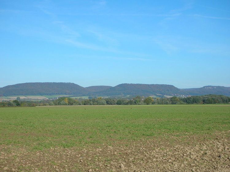
The Amelungsburg is a former ringfort that is located on the Amelungsberg hill on the Süntel ridge in the district of Hameln-Pyrmont in the German state of Lower Saxony.
Contents
Description
The site is around 15 hectares and lies on the plateau of Amelungsberg, which is 900 metres long and 300 metres wide, and drops away steeply on all sides. The fortifications comprise a rampart on two sides of the terrain with a length of around 1000 metres. Today it has a height of about 1.5 metres and is up to 4 metres wide. On the other two sides only slight traces of ramparts remain. There are the remains of a former entranceway on the southeastern side of the plateau just under 70 metres west of the present day breach in the defences by a forest track.
Below the site runs a rough 300 metre long advance rampart and moat which shows evidence of an entrance. This earthwork has a width of around 7 metres and is up to 2 metres high. The moat in front of it is around 4 metres wide and still a metre deep.
Excavations
In 1954, 1955, and 2005, excavations took place on the terrain. These established that in the embankment was a dry stone wall about 3 metres wide and up to 2.5 metres high. Animal bones that may have been part of the waste left by the construction force, have been carbon dated to around 400 B.C. About 300 artefacts, including tools, iron wagon parts and tyres are assigned to the La Tène period. The advance rampart is dated to the 8th century. Finds from the Saxon period include two fibulae, spurs, an axe, a knife and a lance head. Anvils, hammers and bronze shavings are evidence of metalworkers.
History
Based on excavations, the fortifications were originally built in the pre-Roman Iron Age, archaeologists reckoning a construction time of up to six weeks. The site was extended during a second phase of use during the Saxon Wars. In 782 in the Süntel a Frankish army under the Saxon duke Widukind was annihilated, leading to the massacre of Verden. The Amelungsburg was not a battlefield - few weapons have been found here - but could have been part of the Saxon's overall military strategy.