Airport type Public Website cityofatchison.com Elevation 327 m | Owner/Operator City of Atchison Elevation AMSL 1,073 ft / 327 m 16/34 3,000 Phone +1 913-367-5249 | |
 | ||
Address 16701 286th Rd, Atchison, KS 66002, USA Similar Atchison Area Chamber, Amelia Earhart Birthplace, City of Atchison, Benedicti College, Internatio Forest of Friendship | ||
Amelia earhart airport with diamond personality angela cairo
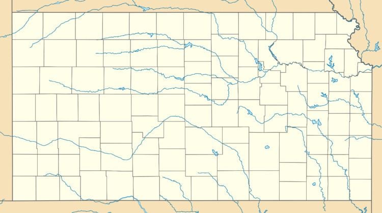
Amelia Earhart Airport (FAA LID: K59) is a city-owned airport two miles west of Atchison, in Atchison County, Kansas. It is named for Atchison native Amelia Earhart.
Contents
Facilities
Amelia Earhart Airport covers 77 acres (31 ha); its one runway, 16/34, is 3,000 x 48 ft (914 x 14 m) asphalt.
In the year ending March 31, 2006 the airport had 16,100 general aviation aircraft operations, average 44 per day. 25 aircraft were then based at the airport: 92% single-engine and 8% multi-engine.
References
Amelia Earhart Airport Wikipedia(Text) CC BY-SA
