
Population 545 (2011 census) Postal code 4695 | Postcode(s) 4695 Local time Tuesday 4:49 PM | |
 | ||
Weather 31°C, Wind E at 18 km/h, 48% Humidity | ||
Ambrose is a town and locality in the Gladstone Region, Queensland, Australia. It is located on the Bruce Highway. In the 2011 census, Ambrose had a population of 545 people.
Contents
Map of Ambrose QLD 4695, Australia
History
The town is named after Henry Gilbert Ambrose (1876—1950), an early settler in the area.
Ambrose Provisional School opened in December 1913 with 12 students, becoming a State School on 1 December 1914. It celebrates its centenary in 2014.
Ambrose Post Office opened on 1 November 1915 (a receiving office had been open since 1910) and closed in 1977.
Geography
The Bruce Highway and railway pass through the northern part of the locality; the town centre is close to both. Most of the land is in the locality is used for grazing cattle.
Education
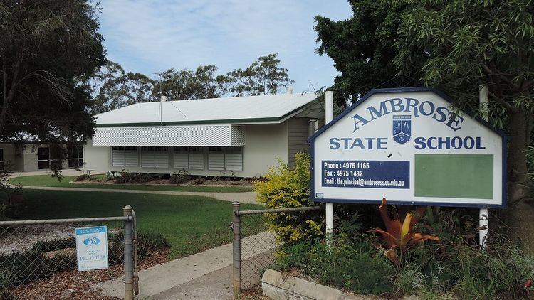
Ambrose State School is a government co-educational primary (P-7) school located at 39 Gentle Annie Road (23.78690°S 150.92204°E / -23.78690; 150.92204). In 2013, the school had an enrolment of 106 students with 6 teachers.