
Airport type Public, Civilian 3,284 1,001 Code ASV | Serves Amboseli, Kenya Elevation AMSL 3,757 ft / 1,145 m Elevation 1,145 m | |
 | ||
Similar Amboseli National Park, Amboseli Lodge, Ol Tukai Lodge, Tortilis Camp by Elewana, Amboseli Serena Safari Lo | ||
Location
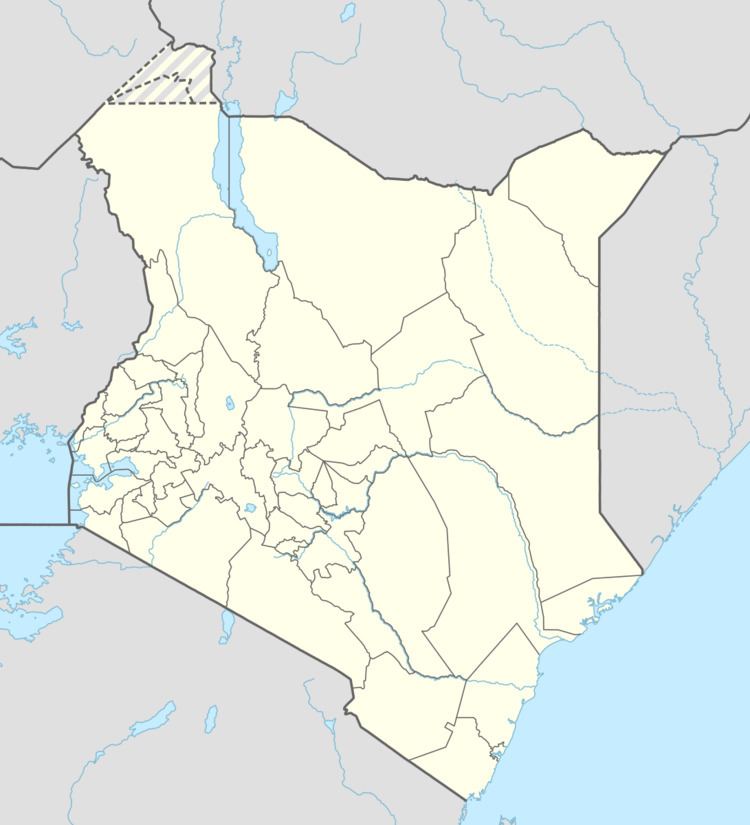
Amboseli Airport (IATA: ASV, ICAO: HKAM) is in Kajiado County, in Amboseli National Park, in south-central Kenya, close to the international border with the Republic of Tanzania.
It is approximately 156 kilometres (97 mi), by air, south of Nairobi International Airport, the country's largest civilian airport. The geographic coordinates of Amboseli Airport are 2° 38' 42.00"S, 37° 15' 0.00"E (Latitude: -2.64500; Longitude:37.25000).
Overview
Amboseli Airport serves Amboseli National Park. The small airport receives regular scheduled service from Airkenya and unscheduled service from aircharter service providers.
At 1,145 metres (3,757 ft) above sea level, the airport has a single asphalt runway that measures 1,001 metres (3,284 ft) in length.
References
Amboseli Airport Wikipedia(Text) CC BY-SA