
Elevation 790 m Population 23,000 (2001) | Region Alaotra-Mangoro Time zone EAT (UTC3) Local time Tuesday 9:12 AM | |
 | ||
Weather 25°C, Wind E at 13 km/h, 75% Humidity | ||
Amboavory is a town and commune (Malagasy: kaominina) in Madagascar. It belongs to the district of Amparafaravola, which is a part of Alaotra-Mangoro Region. It is situated on the northern banks of Lake Alaotra. The population of the commune was estimated to be approximately 23,000 in 2001 commune census.
Contents
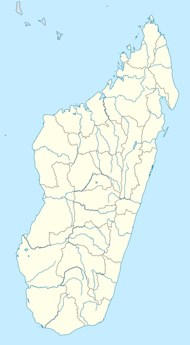
Map of Amboavory, Madagascar
Primary and junior level secondary education are available in town. The majority 90% of the population of the commune are farmers. The most important crop is rice, while other important products are sugarcane and cassava. Industry and services provide both employment for 2% of the population. Additionally fishing employs 6% of the population.
Transport
The district is linked to Moramanga by the Route nationale 44 (Moramanga - Ambatondrazaka - Imerimandroso - Amboavory (228 km)).