
PIN 682315 Population 11,757 (2001) | Time zone IST (UTC+5:30) Nearest city Thrippunithura | |
 | ||
Amballur is a village in Ernakulam district in the Indian state of Kerala.
Contents
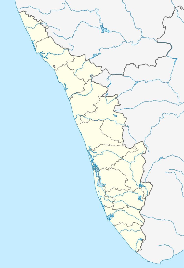
Map of Amballur, Kerala 682315
Demographics
As of 2001 India census, Amballur had a population of 11757 with 5763 males and 5994 females.
Location
Amballoor is located about 25 km from the Cochin city. It is a part of the Amballoor Panchayath, which forms the south edge of Ernakulam district. Amballoor comes in the Ernakulam - Thalayolaparambu main road.
Amballoor Pallithazham is the main junction of Amballoor. It is the heart of Amballoor. Main temples in this area are Amballur Kavu & Koote Kavu, both are bhagavathi temples.Amballoor thrikkovu is another main temple, it is a krishna temple. The famous "St: Francis Assissi Syro-Malabar Catholic church" established in 1810 is situated at this junction. The St: Francis UP school is the first school of this place.The school celebrated its centenary year recently.
Perumpilly, Arakkunnam, Kanjiramattom, Edakkattuvayal etc. are a few places adjacent to Amballoor.