
Elevation 1,025 m Local time Monday 9:38 PM | Climate Cwa Population 30,000 (2001) | |
 | ||
Weather 22°C, Wind E at 6 km/h, 94% Humidity | ||
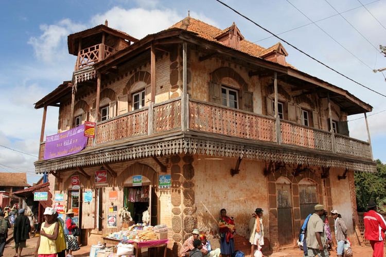
Ambalavao [amˌbalaˈvaw] is a city (commune urbaine) in Madagascar, in the Haute Matsiatra region. The city is in the most southern part of the Central Highlands, near the city of Fianarantsoa.
Contents
Map of Ambalavao, Madagascar
The Anja Community Reserve, situated about 12 km south of Ambalavao, is a small community-based reserve created to preserve and manage local natural resources.
Geography
Ambalavao is situated at the Route Nationale No. 7 Fianarantsoa-Ihosy-Tuléar at 160 km from Ihosy and 56 km from Fianarantsoa.
Climate
Ambalavao has a humid subtropical climate (Köppen: Cwa).
Transports
The city is served by Ambalavao Airport.
Twin towns - Sister cities
Ambalavao is twinned with:
References
Ambalavao Wikipedia(Text) CC BY-SA