
Time zone +5.30 | Local time Tuesday 12:05 AM | |
 | ||
Weather 27°C, Wind W at 0 km/h, 82% Humidity | ||
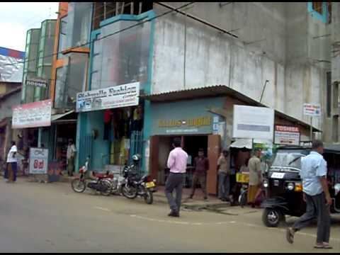
Ambalantota is a coastal town in southern Sri Lanka. It is located in Southern Province in Hambantota District between Matara and Hambantota.
Contents
- Map of Ambalantota Sri Lanka
- History
- Attractions
- Valuable ancient temples
- Transport
- Education
- Development
- References
Map of Ambalantota, Sri Lanka
The Valave River meets the sea near Ambalantota.
The Ambalantota is famous for its ancient ruins of the Kingdom of Ruhuna. After his many conquests abroad King Gajaba returned to the country from the port of Godavaya that is within sight of Ambalantota.
History
Ambalantota played an important role in past Sri Lanka as the major city of the Kingdom of Ruhuna. It was called 'Manaulu Pura'. The great king Vijayaba, the great warrior Therapuththabhaya, Divisional king Mahanagha made Ambalantota flourish and Ridiyagama was the commercial hub in those days.
Attractions
There are many remarkable places in Ambalantota.
Valuable ancient temples
Transport
The town is served by public and private buses. The Mattala Rajapaksa International Airport (MRIA) (also known as the Hambantota International Airport) (IATA: HRI, ICAO: VCRI) is the closest international airport serving the town from nearby Hambantota.
Education
Theraputtha National School is the leading and popular mixed school in Ambalantota. The other leading schools are Vijayaba Central College (mixed) - Hungama and Ambalantota Maha Vidyalaya (mixed) - Malpeththawa.
Surrounding Ambalantota, the other leading schools are Bolana Maha Vidyalaya (mixed) – Bolana and St Mary's Central College, Hambantota (mixed). The Open University of Sri Lanka has opened a Study Centre for Ambalantota in Rajasaranagama Road, Lunama South, Ambalantota which will play an important role in improving the knowledge for Hambantota students.
Development
The area is part of the southeastern region of Sri Lanka experiencing extensive investment in new infrastructure and services. The new Hambantota Port (Magampura Mahinda Rajapaksa Port) is situated near Ambalantota. A new botanical garden is also proposed for Ambalantota.
A 500-acre (2.0 km2) Safari Park is being constructed in Ridiyagama, Ambalantota. The Safari Park is scheduled to open in April 2014