
Settled mid-17th century Local time Monday 10:53 AM | Area 171.4 km² Population 29,547 (2010) | |
 | ||
Weather 28°C, Wind NW at 6 km/h, 57% Humidity | ||
Las grutas de nueva morelia amatenango de la frontera
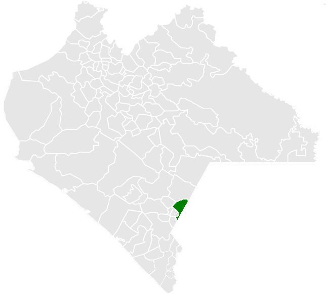
Amatenango de la Frontera is a town and one of the 122 municipalities of Chiapas, in southern Mexico. It covers an area of 171.4 km² and is a part of Mexico's border with Guatemala.
Contents
- Las grutas de nueva morelia amatenango de la frontera
- Map of Amatenango de la Frontera Chis Mexico
- References
Map of Amatenango de la Frontera, Chis., Mexico
As of 2010, the municipality had a total population of 29,547, up from 26,094 as of 2005.
The municipality had 123 localities, the largest of which (with 2010 populations in parentheses) were: El Pacayal (3,045), classified as urban, and Potrerillo (2,062), Nuevo Amatenango (1,594), Guadalupe Victoria (1,541), and Nueva Morelia (1,032), classified as rural.
References
Amatenango de la Frontera Wikipedia(Text) CC BY-SA