
District Mahaboob Nagar PIN 509128 Local time Monday 9:20 PM | Time zone IST (UTC+5:30) Vehicle registration AP22 Nearest city Kurnool | |
 | ||
Weather 29°C, Wind E at 5 km/h, 35% Humidity | ||
Amaravai christmas celebration
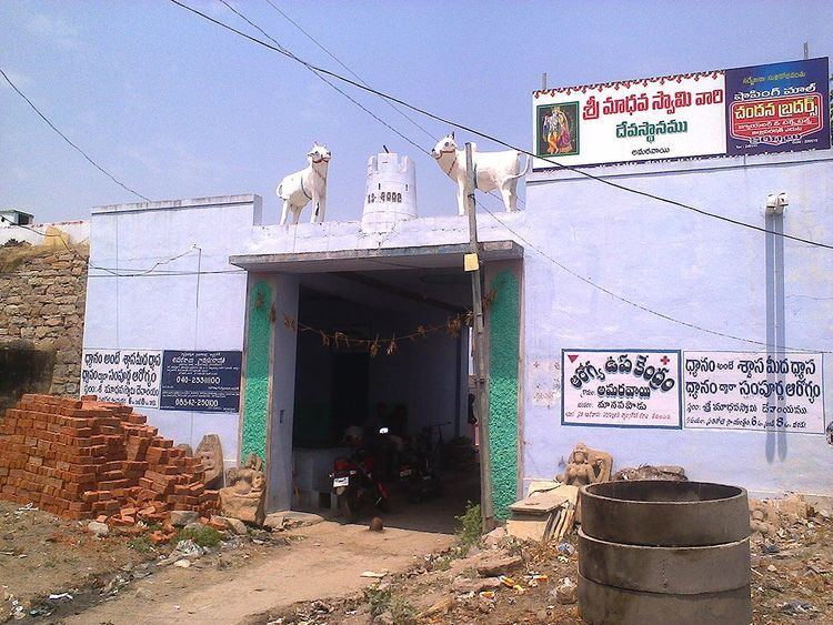
Amaravai is a Village in Manopadu Mandal in Mahbubnagar District of Telangana State, India. It belongs to Telangana region . It is located 102 KM towards South from District head quarters Mahabubnagar. 1 KM from Mandal head quarters Manopad. Amaravai Pin code is 509128 and postal head office is Manavapad. This Place is in the border of the Mahbubnagar District and Kurnool District. Kurnool District Kurnool is South towards this place . It is near to the Andhra Pradesh State Border.
Contents
- Amaravai christmas celebration
- Map of Amaravayi Telangana 509128
- Nearby Villages
- Institutions
- References
Map of Amaravayi, Telangana 509128
Nearby Villages
Chennipad ( 2 KM ) , A.burdipad ( 4 KM ) , Kalgotla ( 4 KM ) , Pedda Amudyalapad ( 4 KM ) , Peddapothulapad ( 5 KM ) are the nearby Villages to Amaravai. Amaravai is surrounded by Waddepalle Mandal towards west , Itikyal Mandal towards North , Kurnool Mandal towards South , Kallur Mandal towards South . Kurnool , Gadwal , Wanaparthy , Yemmiganur are the nearby Cities and Towns to Amaravai.