
Microregion Serras de Sudeste Area 506.5 km² Local time Monday 12:39 PM | Time zone BRT/BRST (UTC-3/-2) Elevation 140 m | |
 | ||
Weather 31°C, Wind E at 13 km/h, 51% Humidity | ||
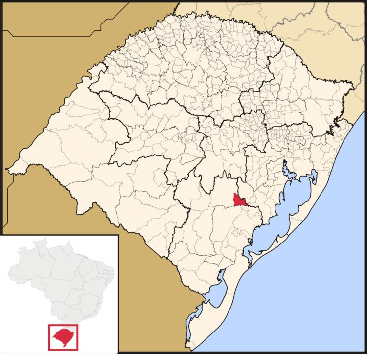
Amaral Ferrador is a municipality in the state of Rio Grande do Sul, Brazil. The population is 6,778 (2015 est.) in an area of 506.46 km². It is situated on the Camaquã River.
Contents
Map of Amaral Ferrador - RS, Brazil
Economy
The main economical activities are trade, agriculture (maize, tobacco and beans) and livestock (cattle, sheep and pork).
Demography
Its population consists of 60% Portuguese ancestry, 25% Polish ancestry and 15% Afro-Brazilians.
Bounding municipalities
References
Amaral Ferrador Wikipedia(Text) CC BY-SA