
Country Honduras Elevation 44 m Population 12,743 (2015) | Local time Monday 9:17 AM | |
 | ||
Time zone Central America (UTC-6) Weather 29°C, Wind NE at 8 km/h, 62% Humidity | ||
Ghost dimension pr amapala honduras part 1
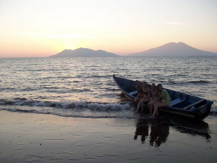
Amapala is a municipality in the Honduran department of Valle.
Contents
Map of Amapala, Honduras
It is formed by El Tigre Island and its satellite islets and rocks in the Gulf of Fonseca. It has an area of 75.2 km² and a population of 2,482 as of the census of 2001 (of which 4 people were living on Isla Comandante). Thanks to a natural deep channel, and despite lacking modern infrastructure, Amapala long served as the main Honduran port in the Pacific Ocean.
Beginning in the late 19th century, Amapala was gradually replaced by the port of San Lorenzo on the mainland. A description of the town in 1881 can be found in the book A Lady's Ride Across Spanish Honduras by Mary Lester (a.k.a. Mary Soltera). It was intended to be the capital of the Republic of Central America in the late 1890s.
Climate
This area typically has a pronounced dry season. According to the Köppen Climate Classification system, Amapala has a tropical savanna climate, abbreviated "Aw" on climate maps.