Area 5,396 km² Established February 13, 2006 | Created 13 February 2006 | |
 | ||
Amaná National Forest (Portuguese: Floresta Nacional do Amaná) is a national forest in the state of Pará, Brazil. Most of it has been allocated for use in sustainable forestry or community forestry. Mining is allowed.
Contents
Location
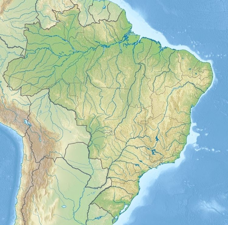
The Amaná National Forest is in the Amazon rainforest biome. It was created by decree on 13 February 2006 and is administered by the Chico Mendes Institute for Biodiversity Conservation (ICMBio). It has an area of 539,571.39 hectares (1,333,309.9 acres). It covers parts of the municipalities of Jacareacanga and Itaituba in the state of Pará. The forest is in the south west of the state of Pará along the border with the state of Amazonas, between the Madeira River and the Tapajós. To the west it adjoins the 538,081 hectares (1,329,630 acres) Urupadi National Forest in Amazonas, a sustainable use conservation unit created in 2016.
Usage
The Amaná National Forest is classed as IUCN protected area category VI (protected area with sustainable use of natural resources) with the objective of sustainable multiple use of forest resources, maintenance and protection of water resources and biodiversity, and supporting sustainable exploitation of natural resources. Mining is allowed in the forest following the provisions of its management plan. The management plan defined six land usage zones, as follows:
The 2009 annual plan authorized the grant of five forestry units totalling 210,000 hectares (520,000 acres).
Regional conservation
The national forest was created as part of the planning process for land management and environment protection along the BR-163 trans-Amazon highway. It is in a region that contains 12 sustainable use conservation areas and 6 fully protected areas. The fully protected areas, which cover 6,670,422 hectares (16,482,970 acres), are the Amazônia, Jamanxim, Rio Novo and Serra do Pardo national parks, the Nascentes da Serra do Cachimbo Biological Reserve and the Terra do Meio Ecological Station. The sustainable use areas include the Tapajós environmental protection area and the Altamira, Amaná, Jamanxim, Trairão, Itaituba I, Itaituba II and Tapajós national forests, covering a total of 7,555,889 hectares (18,671,010 acres).
