
Local time Monday 7:01 AM | ||
 | ||
Weather -3°C, Wind S at 26 km/h, 55% Humidity | ||
Amalia new mexico pv array dedication ceremony
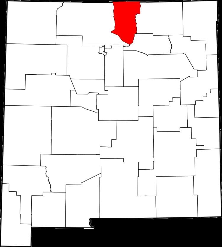
Amalia is a unincorporated community in Taos County, New Mexico, United States. Amalia is located at latitude 36.942 and longitude -105.454. It is located near the Colorado border on New Mexico State Route 196. The elevation is 8,146 feet.
Contents
Map of Amalia, NM 87512, USA
Amalia has a post office, with the ZIP code 87512. The 87512 ZIP Code Tabulation Area had a population of 230 at the 2000 census.
References
Amalia, New Mexico Wikipedia(Text) CC BY-SA