District Anantapur Time zone IST (UTC+5:30) Local time Monday 6:25 PM Area code 08498 | Talukas Amadagur Telephone code 08498 Population 26,093 (2001) | |
 | ||
Weather 29°C, Wind E at 16 km/h, 23% Humidity | ||
Amadagur is a village and a mandal in Anantapur district in the state of Andhra Pradesh in India.
Contents
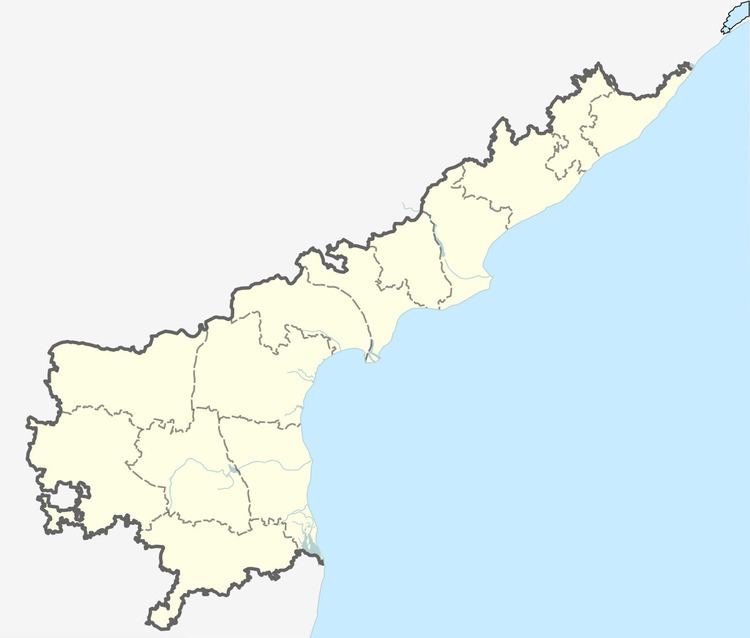
- Map of Amadagur Andhra Pradesh 515556
- Government office buildings
- Temples in Amadagur Mandal
- Occupations of people
- References
Map of Amadagur, Andhra Pradesh 515556
Amadagur is one of the town in the Anantapur District in Andhra Pradesh State. Amadagur is a village that happens to be a mandal and post and comes under the Kadiri taluka. Amadagur is 97.2 km far from its District Main City Anantapur.karnatka border 3 km from Amadagur, government junior college started in 2002
Nearby villages include Niluvurathipalli (9.3 km), Chinaganipalli (4.4 km), Kassamudram (4.5 km), Mohammadabad (7.2 km), Thimmirikuntapalli (7.6 km), Sunnampalli (10.1 km), Venkatapuram (12.9 km), Kottuvaripalli (6 km), Jowkala (9 km).
Nearest towns and villages are Obuladevarecheruvu (13.4 km), Tanakal (20 km), Nallacheruvu (23 km), Cheekirevulapalli, Chinaganipalli, Gunduvaripalli, Jowkulakothapalli, Mohammadabad.
Amadagur Pin Code is 515556 and post office name is Amadaguru. Other villages in Post Office (515556, Amadaguru) are Amadagur, Kassamudram.
The villages in Amadagur mandal are:
Government office buildings
Temples in Amadagur Mandal
Occupations of people
The main occupation in Amadagur is farming. The main crops grown are: sugarcane, corn, sunflower, peanuts, rice, Muskmelon mangoes, ground nuts, vegetables, silk worms. There is a segment of the people that make it their home but temporarily migrate to Karnataka for employment.
