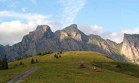
Elevation 2,343 m Mountain range Appenzell Alps Parent range Appenzell Alps | Length 13 km (8.1 mi) Prominence 243 m Parent peak Gamsberg | |
 | ||
Similar Gauschla, Gonzen, Gamsberg, Margelchopf, Sichelchamm | ||
Alvier 17 07 2016
The Alvier is a mountain stream in Vorarlberg and flows through the Brandnertal where it merges with the Ill. The river passes through the municipality of „Brand in Vorarlberg“.
Contents
- Alvier 17 07 2016
- Map of Alvier 9478 Wartau Switzerland
- Alvier der vielbesuchte st galler gipfel
- References
Map of Alvier, 9478 Wartau, Switzerland
The waters have created numerous flat areas in the riverbed. Brook trout and rainbow trout splash about in water there. The clear but torrential river has drinking water quality.
The pride of the village is the 14 hectare large „Alvier-Bath“ which can be used free of charge. Aquatic plants filter pollutants in a biological procedure out of the water of the bath, which gains agreeable temperatures in summer.
Alvier der vielbesuchte st galler gipfel
References
Alvier Wikipedia(Text) CC BY-SA
