Population (2015) 502 Local time Monday 11:11 AM | Founded by Agudat Yisrael members Founded 1965 | |
 | ||
Weather 21°C, Wind N at 6 km/h, 34% Humidity | ||
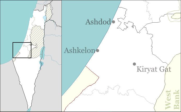
Aluma (Hebrew: אֲלֻמָּה or אלומה, lit. Sheaf) is an Haredi communal settlement in southern Israel. Located in the southern coastal plain around three kilometers north-west of Kiryat Gat, it falls under the jurisdiction of Shafir Regional Council. In 2015 it had a population of 502.
Contents
Map of Aluma, Israel
History
The village was established in 1965 as a youth village named Hazon Yehezkel by a group called Mosadot Hinukh Ezuri (lit. Institute for Regional Education), made up of young members of Agudat Yisrael. It was built on lands which had formerly belonged to the depopulated Arab village of Hatta. In 1996 the Ministry of Interior gave the village municipal council status and changed its name to Aluma.
References
Aluma Wikipedia(Text) CC BY-SA
