
Population 0 Area 100 ha | Pop. density 0 /km (0 /sq mi) | |
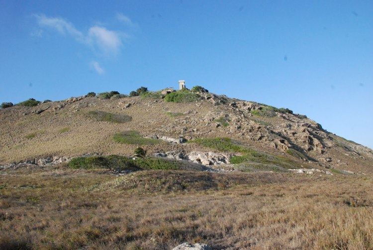 | ||
Alto Velo Island is a small uninhabited island south of the island of Hispaniola in the Caribbean Sea. Its maximum height is about 152 metres above sea level. It lies on an underwater mountain range which continues to Beata Island (about 12 km away, separated by the Alto Velo Channel) and the southwestern coast of the Dominican Republic. It has an area of 1.02 km² and is 1.4 km long, being oval in shape.
Map of Alto Velo Island, 84000, Dominican Republic
It is located about 120-nautical-mile (220 km) southwest of Santo Domingo, and 40 nmi (74 km) south of Pedernales, making it the southernmost point of the Dominican Republic, a distinction sometimes claimed by Beata Island.
The island is part of the province of Pedernales in the Dominican Republic.
Alto Velo and Beata Islands belong to the Jaragua National Park, the largest protected area in the Caribbean region.
The island was discovered by Christopher Columbus on his second voyage in 1494. The United States claimed the island, which had some strategic significance, in 1860 under the Guano Islands Act.