
Country Brazil Area 3,958 km² | Time zone BRT-1 (UTC-4) Local time Monday 3:25 AM | |
 | ||
Weather 22°C, Wind W at 5 km/h, 97% Humidity | ||
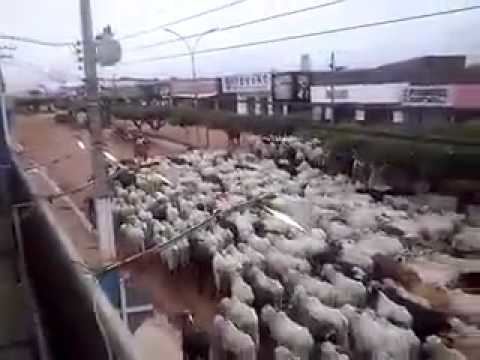
Andando por alto alegre dos parecis ro
Alto Alegre dos Parecis is a municipality located in the Brazilian state of Rondônia. Its population was 13,940 (2015) and its area is 3,958 km².
Contents
- Andando por alto alegre dos parecis ro
- Map of Alto Alegre dos Parecis State of RondC3B4nia Brazil
- Alto alegre dos parecis ro
- References
Map of Alto Alegre dos Parecis - State of Rond%C3%B4nia, Brazil
The municipality contains 20% of the 384,055 hectares (949,020 acres) Corumbiara State Park, created in 1990. It also contained the 38,950 hectares (96,200 acres) Serra dos Parecis State Park, created in 1990 and cancelled in 2010.
Alto alegre dos parecis ro
References
Alto Alegre dos Parecis Wikipedia(Text) CC BY-SA