
Province Ulster | ||
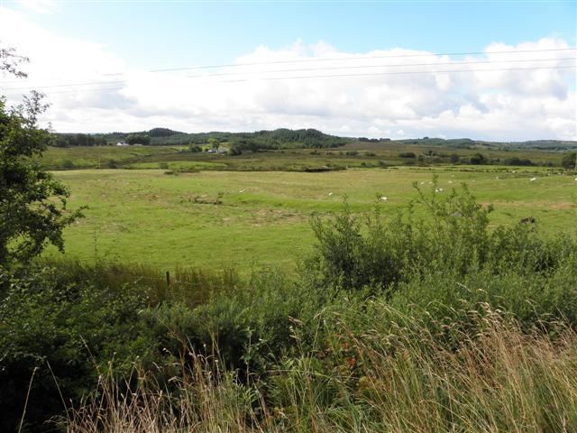 | ||
Altinure chapel quadcopter fpv gopro hero3 black pico studios
Altinure (from Irish: Alt an Iúir, meaning "Glen of the Yew-tree") is a townland in the civil parish of Templeport, County Cavan, Ireland. It lies in the Roman Catholic parish of Corlough and barony of Tullyhaw.
Contents
- Altinure chapel quadcopter fpv gopro hero3 black pico studios
- Map of Altinure Mountain View Co Cavan Ireland
- Geography
- History
- References
Map of Altinure, Mountain View, Co. Cavan, Ireland
Geography
Altinure is bounded on the north by Altbrean townland, on the west by Altachullion Lower townland, on the south by Altachullion Upper, Tullnamoltra and Drumbeagh townlands and on the east by Gubrawully townland. Its chief geographical features are a mountain trout stream which later joins the River Cladagh (Swanlinbar); a tributary burn or creek which joins the stream in the south of the townland; forestry plantations and small hills which rise to 160 feet above sea level. Altinure is bisected by a regional road (the R200 road (Ireland)) and is also traversed by a minor public road on the south and several rural lanes. The townland covers 265 statute acres,.
History
In earlier times the townland was probably uninhabited as it consists mainly of bog and poor clay soils. It was not seized by the English during the Plantation of Ulster in 1610 or in the Cromwellian Settlement of the 1660s so some dispossessed Irish families moved there and began to clear and farm the land. In the 19th century the landlord was Lord John Beresford, the Protestant Archbishop of Armagh. The muddled land history of the area prior to this is described in the 1838 Exchequer case, "Attorney General of Ireland v The Lord Primate". The maps used in the case are viewable online at- [6]
Maps of the townland drawn in 1813-1814 are in the National Archives of Ireland, Beresford Estate Maps, which show the townland belonging to Lord John Beresford and leased to the Reverend J. Pollock.
The Tithe Applotment Books for 1827 list the following tithepayers in the townland- Maguire, Magauran, McGoldrick.
The Ordnance Survey Name Books for 1836 give the following description of the townland- "Altinure. Alt an Iubhair which means Precipice of the Yew. Contains 266 acres; 52 are cultivated, 205 uncultivated and 9 acres of bog. Proprietor Lord John Beresford. Occupants are tenants-at-will and pay £1 for the whole townland. No tithe or cess is paid because it is a track mountain. There are poor crops of oats and potatoes. There is a large mountain torrent or stream runs through the centre of the townland."
Griffith's Valuation of 1857 lists the landholders in the townland as McGoldrick, King, Gilleece, Maguire and Curran.
In the 1901 census of Ireland, there are fourteen families listed in the townland.
In the 1911 census of Ireland, there are eighteen families listed in the townland.
The chief structures of historical interest in the townland are old bridges and stepping stones across the river.