
Country Turkey Website www.altinozu.bel.tr Area 325 km² Province Hatay Province | Post code 31750 Elevation 202 m Local time Monday 11:40 AM | |
 | ||
Weather 12°C, Wind NE at 3 km/h, 52% Humidity | ||
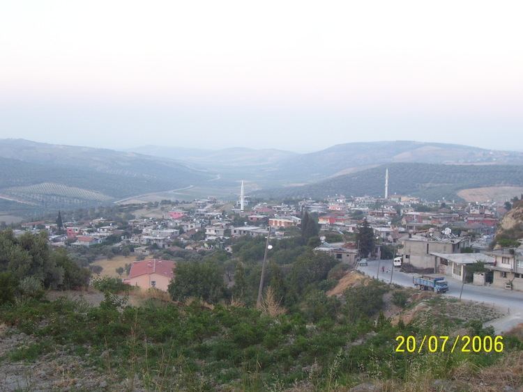
Altınözü (Arabic: القصير, al-Quṣayr) is a district in the south-east of Hatay Province of Turkey, on the border between Turkey and Syria. The mayor is Mehmet Cavid Alkan (AKP).
Contents
Map of Alt%C4%B1n%C3%B6z%C3%BC, Turkey
Etymology
The area was previously known as Kuseyr a derivation from kasr the Arabic word for castle.
Geography
Altınözü stands on the fertile Kuseyr plateau, and several crops such as olives (the largest olive growing area is in this part of Turkey), tobacco, grains and other crops are grown here. The district gets its water from the Yarseli reservoir.
Demographics
The district has a population of 52,819, out of which 7,379 live in the town of Altınözü. There is also a refugee camp called the Altinozu Camp that houses 1,350 Syrian Sunnis who have fled the Syrian civil war. The population of the district is mostly Muslim with a Christian community encompassing two churches in the capital of the district and the entirely Christian village of Tokaçlı.