
National calling code 06-5xxxxxx Area 660 km² | Mailing Postcode 78XXX Vehicle registration M Local time Monday 3:29 AM | |
 | ||
Weather 24°C, Wind NE at 3 km/h, 94% Humidity Points of interest A'Famosa Animal World Saf, A'Famosa Water Theme P, Machap Walk, Cowboy Town (A'Famosa), Tradition and Custom | ||
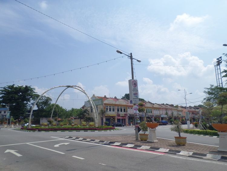
The Alor Gajah District is a district in Malacca, Malaysia. Alor Gajah is also a parliamentary constituency of Malacca State. It borders Tampin District to the north. It also borders Jasin and Central Malacca.
Contents
- Map of Alor Gajah Malacca Malaysia
- Name
- Geography
- Government
- Administrative divisions
- Health
- Shopping
- Tourist attractions
- Transportation
- References
Map of Alor Gajah, Malacca, Malaysia
Name
Alor Gajah used to be one of the forest areas believed to be the routes (Malay: alor) for wild elephants Malay: gajah).
Geography
Alor Gajah is 699.3 km2, which is equivalent to 66,302 hectares.
Government
Alor Gajah District and Land Office is the local government in charge of this district.
Administrative divisions
It consists of 31 mukim (sub-districts):
Health
Alor Gajah boasts a new government hospital, Alor Gajah Hospital, which replaced the old one that was fast becoming insufficient to meet the needs of the growing population. Besides, other government healthcare facilities include:
Shopping
Tourist attractions
Transportation
References
Alor Gajah District Wikipedia(Text) CC BY-SA