
Population 692 (2006 census) Local time Monday 3:02 AM | Postcode(s) 3465 Postal code 3465 Federal division Division of Bendigo | |
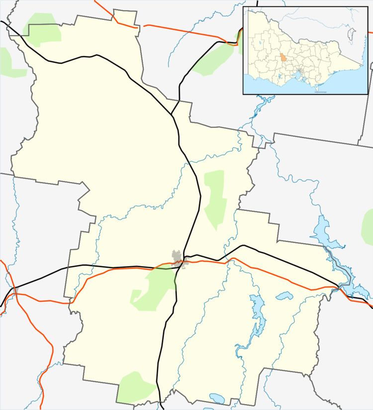 | ||
Location 174 km (108 mi) NW of Melbourne78 km (48 mi) N of Ballarat93 km (58 mi) SE of Bendigo7 km (4 mi) W of Maryborough Weather 18°C, Wind E at 10 km/h, 66% Humidity | ||
Fuego y alma victoria contundente intercolegial elfec 2016
Alma is a town in Victoria, Australia, along the Maryborough – St Arnaud Road, west of Maryborough. In the 2006 census, Alma and the surrounding area had a population of 692.
Contents
Map of Alma VIC 3465, Australia
Alma began as a gold-mining settlement and was named after the Battle of Alma in the Crimean War. It was surveyed in 1860, the Post Office opening on 1 July 1861. (closed 1969), and proclaimed in 1891. It had a peak population of 2,109.
References
Alma, Victoria Wikipedia(Text) CC BY-SA