
Population 220 (2011 census) Civil parish Allerthorpe Local time Sunday 10:40 AM | OS grid reference SE784474 Dialling code 01759 | |
 | ||
Weather 9°C, Wind SW at 27 km/h, 74% Humidity | ||
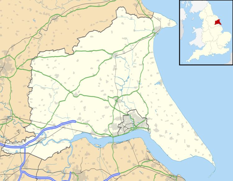
Allerthorpe is a village and civil parish in the East Riding of Yorkshire, England. It is situated approximately 1.5 miles (2.4 km) south-west from the town of Pocklington.
Map of Allerthorpe, UK
The civil parish is formed by the village of Allerthorpe and the hamlet of Waplington. According to the 2011 UK census, Allerthorpe parish had a population of 220, a slight reduction from the 2001 UK census figure of 223. The parish covers an area of 969.217 hectares (2,394.99 acres).
Allerthorpe has a public house cum restaurant, The Plough Inn, an 18-hole golf course and a lake used for water sports and fishing. Allerthorpe Common, to the west of the village, has a nature reserve.
Allerthorpe's Victorian Grade II listed Anglican parish church is dedicated to St Botolph.
The K6 telephone box on Main Street is Grade II listed.
Thomas Cooke, the machinist and optical instrument maker, was born here. There is a memorial stone to him near the church gate and a blue plaque was unveiled in the village hall in 2009.
William Dewsbury the Quaker minister was born in the village.