
Country United States GNIS feature ID 0453086 Area 92.85 km² Population 7,134 (2010) | ZIP codes 46710, 46755 Elevation 298 m Local time Sunday 4:56 AM | |
 | ||
Weather -4°C, Wind W at 5 km/h, 76% Humidity | ||
Allen Township is one of thirteen townships in Noble County, Indiana, United States. As of the 2010 census, its population was 7,134 and it contained 2,933 housing units.
Contents
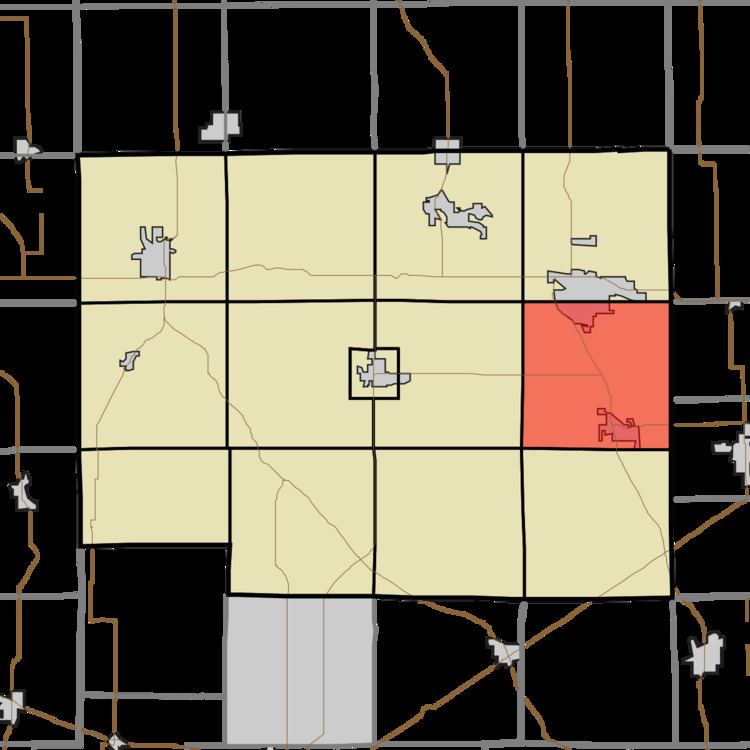
- Map of Allen Township IN USA
- Geography
- Cities towns villages
- Unincorporated towns
- Cemeteries
- Major highways
- School districts
- Political districts
- References
Map of Allen Township, IN, USA
Geography
According to the 2010 census, the township has a total area of 35.85 square miles (92.9 km2), of which 35.76 square miles (92.6 km2) (or 99.75%) is land and 0.08 square miles (0.21 km2) (or 0.22%) is water.
Cities, towns, villages
Unincorporated towns
(This list is based on USGS data and may include former settlements.)
Cemeteries
The township contains Saint Marys Cemetery. Information about decedents buried in this cemetery is available through the Indiana Genealogical Society, Fort Wayne, Indiana. The Lisbon Cemetery is accessed via a private drive off West Lisbon Road. Information about decedents buried in this cemetery is available through the Indiana Genealogical Society, Fort Wayne, Indiana.