
Intercommunality Haute-Saintonge Area 7.65 km² | Population (2014) 285 Local time Sunday 1:16 AM | |
 | ||
Weather 4°C, Wind SE at 10 km/h, 69% Humidity | ||
Paramoteur allas champagne 03 03 2013
Allas-Champagne is a French commune in the Charente-Maritime department in the Nouvelle-Aquitaine region of southwestern France.
Contents
- Paramoteur allas champagne 03 03 2013
- Map of 17500 Allas Champagne France
- Inauguration de la plateforme d allas champagne
- Geography
- Administration
- Demography
- Distribution of Age Groups
- Education
- Sites and monuments
- Nearest Railway stations and halts
- Nearest Airports and airfields
- References
Map of 17500 Allas-Champagne, France
The inhabitants of the commune are known as Allasiens or Allasiennes
Inauguration de la plateforme d allas champagne
Geography
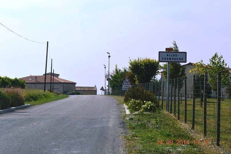
Allas-Champagne is located in the south of the department of Charente-Maritime in the former province of Saintonge some 10 km north-east of Jonzac and 5 km south-east of Archiac. It can be accessed by road D250 which comes east from the D699 linking Jonzac and Archiac through the village and continuing east as the D250E1 to Brie-sous-Archiac. There is also the D149 which comes from Archiac in the north passing thorough the heart of the commune and the village and continuing south to join the D2 road west of Meux. Apart from the village there are three hamlets in the commune: Godais, Chez Gondre, and La Valade. The commune consists entirely of farmland with the exception of a few very small patches of forest in the south.
The Trefle river flows west through the south of the commune forming part of the southern border before continuing westwards to join the Seugne near Saint-Grégoire-d'Ardennes. A small unnamed stream also rises in the north of the commune and flows west then south to join the Trefle.
Administration
List of Successive Mayors
(Not all data is known)
Demography
In 2009, the commune had 247 inhabitants. The evolution of the number of inhabitants is known through the population censuses conducted in the commune since 1793. From the 21st century, a census of communes with fewer than 10,000 inhabitants is held every five years, unlike larger towns that have a sample survey every year.
Sources : Ldh/EHESS/Cassini until 1962, INSEE database from 1968 (population without double counting and municipal population from 2006)
Distribution of Age Groups
The population of the commune is relatively old. The ratio of persons above the age of 60 years (25.1%) is higher than the national rate (21.6%) while being less than the departmental rate (28.1%). Unlike national and departmental averages the male population of the town is greater than the female population (51.5% against 48.4% nationally and 48.2% at the departmental level).
Percentage Distribution of Age Groups in Allas-Champagne and Charente-Maritime Department in 2009
Sources:
Education
A public kindergarten is located in the centre of the village.