
Quadrant SW Sector Southwest Elevation 697 m | Ward 9 Population 241 (2012) | |
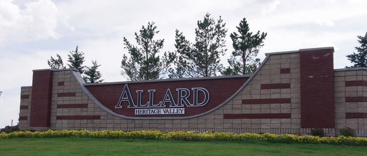 | ||
Allard is a neighbourhood in southwest Edmonton, Alberta, Canada that was established in 2007 through the adoption of the Allard Neighbourhood Area Structure Plan (NASP).
Contents
Map of Allard, Edmonton, AB, Canada
It is located within Heritage Valley and was originally considered Neighbourhood 8 within the Heritage Valley Servicing Concept Design Brief (SCDB).
Allard is bounded on the west by the future extension of James Mowatt Trail SW, north by the future 25 Avenue SW, east by the Blackmud Creek and south by the city limits (41 Avenue SW).
Demographics
In the City of Edmonton's 2012 municipal census, Allard had a population of 7002241000000000000♠241 living in 7002208000000000000♠208 dwellings.
References
Allard, Edmonton Wikipedia(Text) CC BY-SA