
Area 2,165 km² Lok sabha constituency Ratlam | Website Official website | |
 | ||
Alirajpur (Hindi: अलीराजपुर जिला) is one of the 51 districts of Madhya Pradesh state in India. It was created from Alirajpur, Jobat and Bhabra tehsils of the former Jhabua district on 17 May 2008. Alirajpur is the administrative headquarters of the district. The district occupies an area of 2,165.24 square kilometres (836.00 sq mi), and at the 2011 census had a population of 728,677.
Contents
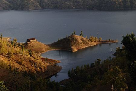
Map of Alirajpur, Madhya Pradesh
Origin of name
The district is named after its headquarters, Alirajpur, which was the capital of the former princely state of Ali Rajpur. The name of this town is derived by conjoining Ali (the fortress town and the former capital of the princely state founded by Anand Deo in 1437) and Rajpur (the latter capital). According to the 2011 census Alirajpur district has a population of 728,677,[3] roughly equal to the nation of Bhutan or the US state of Alaska.[4][5] This gives it a ranking of 498th in India (out of a total of 640).[3] The district has a population density of 229 inhabitants per square kilometre (590/sq mi).[3] Its population growth rate over the decade 2001–2011 was 19.4 per cent.[3] Alirajpur has a sex ratio of 1,009 females for every 1,000 males, and a literacy rate of 37.22 per cent, the lowest in India.[3][6]
History
Before the Indian independence in 1947, the Alirajpur State was under Bhopawar Agency sub-division of the Central India Agency. This principality was founded in 1437 and merged with the Indian Union after the Indian independence. The territory occupied by the present district became part of Madhya Bharat state in 1948 and subsequently became part of the re-organized Madhya Pradesh state on 1 November 1956.
Divisions
This district comprises 3 tehsils: Alirajpur, Jobat and Bhabra.
Presently, there are two Madhya Pradesh Vidhan Sabha constituencies in this district: Alirajpur and Jobat. Both of these are part of Ratlam Lok Sabha constituency.
Demographics
According to the 2011 census Alirajpur district has a population of 728,677, roughly equal to the nation of Bhutan or the US state of Alaska. This gives it a ranking of 498th in India (out of a total of 640). The district has a population density of 229 inhabitants per square kilometre (590/sq mi). Its population growth rate over the decade 2001–2011 was 19.4 per cent. Alirajpur has a sex ratio of 1,009 females for every 1,000 males, and a literacy rate of 37.22 per cent, the lowest in India.