
Elevation 675 m Island group Aeolian Islands | Area 5.2 km² | |
 | ||
Similar Panarea, Salina - Sicily, Vulcano, Stromboli, Linosa | ||
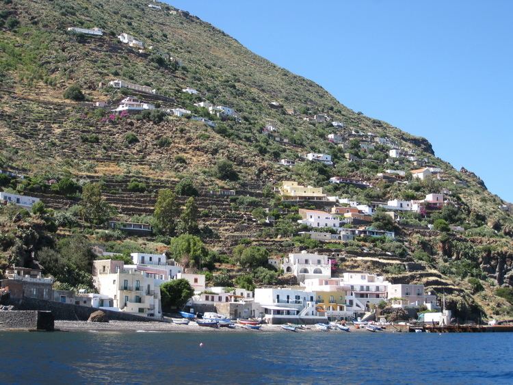
Alicudi ([aliˈkuːdi]) is the westernmost of the eight islands that make up the Aeolian archipelago, a volcanic island chain north of Sicily. The island is about 40 km (25 mi) west of Lipari, has a total area of 5.2 km2 (2.0 sq mi), and is roughly circular. It is located at 38°32′45″N 14°21′00″E.
Contents
Map of Alicudi, Italy
History
The island was formed by the long-extinct Montagnola volcano, roughly 150,000 years ago. It has been suggested that the last evolutive act of the island took place only 27,000 years ago.
The island was first populated as long ago as 17th century BC, as some archaeological evidence from this period has been found. Roman ceramic fragments, dating from many centuries later, can be found on the eastern coast of the island.
The modern name of "Alicudi" is a corruption of the island's Ancient Greek name of Ἐρείκουσα Ereikousa, derived from the plant known as erica, more commonly known as heather, which still grows on the island’s slopes. For many centuries, Alicudi was the target of frequent incursions by pirates. Consequently, the island’s population was forced to find shelter in small houses constructed on high terraces and also meant that simple agriculture and cultivation of the peach were the foundations of the modest island economy.
Demography
Today there are around 120 inhabitants who mostly live off fishing, or the small agriculture of the island. There is only one restaurant on the island and the menu depends greatly on what fish the local fishermen have caught, or what food supplies the hydrofoil brings.