Airport type Public Elevation AMSL 178 ft / 54 m 5,997 1,828 Elevation 54 m | 13/31 5,997 Code ALI Phone +1 361-664-2656 | |
 | ||
Owner City of Alice & Jim Wells County Address 1300 Airport Rd, Alice, TX 78332, USA Similar Corpus Christi Internatio, Alice Public Library, Kleberg County Airport, KALI Aviation ‑ City of Ali, Alice Echo‑News Journal | ||
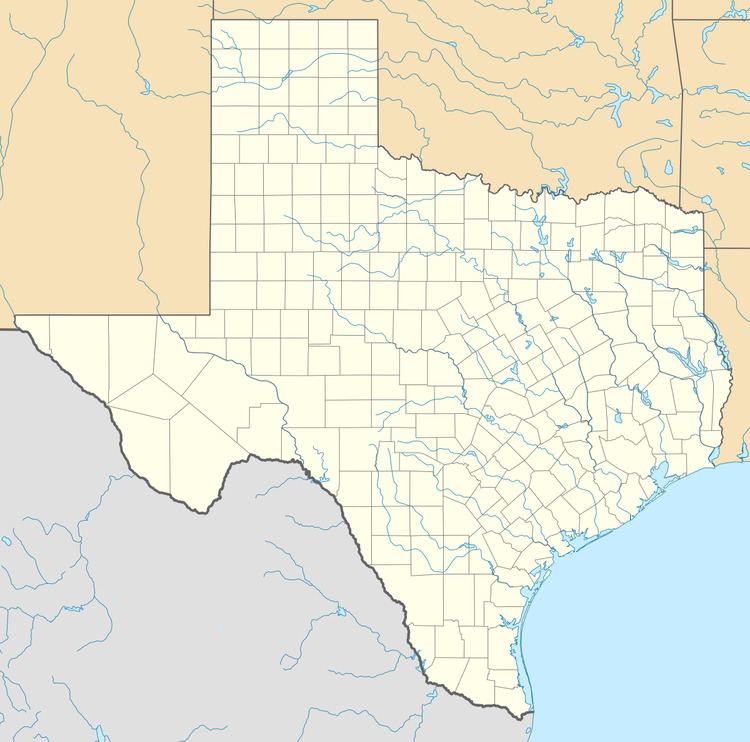
Alice International Airport (IATA: ALI, ICAO: KALI, FAA LID: ALI) is three miles southeast of Alice, in Jim Wells County, Texas. The airport is owned by the city and county. The National Plan of Integrated Airport Systems for 2011–2015 categorized it as a general aviation facility.
For a year or two 1950-51 it saw scheduled Trans-Texas DC-3s.
Facilities
Alice International Airport covers 556 acres (225 ha) at an elevation of 178 feet (54 m). It has two asphalt runways: 13/31 is 5,997 by 100 feet (1,828 x 30 m) and 17/35 is 4,490 by 100 feet (1,369 x 30 m).
In the year ending March 5, 2011 the airport had 8,610 aircraft operations, average 23 per day: 77% general aviation, 23% military, and <1% air taxi. Seven aircraft were then based at this airport: 86% single-engine and 14% helicopter.
