
Name Aleksey Tillo | ||
 | ||
Died 1900, Saint Petersburg, Russia | ||
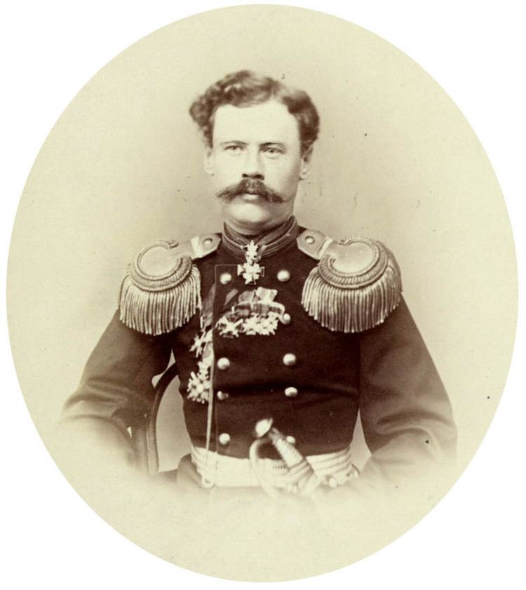
Aleksey Tillo (Russian: Алексей Андреевич Тилло; Alexei Andreyevitch Tillo) (November 25 (O.S. November 13), 1839, Kiev Governorate – January 11 (O.S. December 30), 1900, Saint Petersburg) was a prominent Russian geographer, cartographer, land surveyor, lieutenant general of the Russian Imperial Army (1894).
Contents
Aleksey Tillo's grandfather was a French Huguenot, but his father was a citizen of the Russian Empire.
Career
Aleksey graduated from the Mikhailovskaya Artillery Academy (1862) and Department of Geodesy of the General Staff Academy in Saint Petersburg (1866). His greatest achievement was a hypsometric map of the European part of Russia published in 1889. It was the first map of its kind that showed elevation correctly. For creating this map Tillo was elected a corresponding member of the Russian (1892) and Parisian Academies of Sciences.
Aleksey Tillo is known to have coined the term Central Russian Upland. Also, he measured the length of the main Russian rivers and conducted work on level difference between the Caspian Sea and the Aral Sea. Aleksey Tillo also authored a number of works on geomagnetism and meteorology. Part of the work he had initiated was continued after his death by Yuly Shokalsky (1856–1940) .
Honours
The Tillo Islands, a small archipelago in the Kara Sea, as well as Tillo Island (Franz Josef Land) near Wilczek Land in Franz Josef Land, were named after Aleksey Tillo.