
Time zone UTC-3 (UTC-3) Area 511.2 km² Local time Monday 9:22 AM | Founded September 28, 1883 Elevation 140 m Population 35,589 (2006) | |
 | ||
Weather 25°C, Wind N at 8 km/h, 87% Humidity | ||
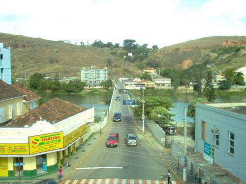
Além Paraíba is a city in the southeastern Zona da Mata region of Minas Gerais, Brazil. The name indicates its position on the far bank (from Rio de Janeiro) of the Rio Paraíba do Sul. It was known as São José d'Além Parahyba until 1923.
Contents
Map of Al%C3%A9m Para%C3%ADba - State of Minas Gerais, Brazil
Railways
Além Paraíba was at the junction of the Estrada de Ferro Central do Brasil (1871) and the Estrada de Ferro Leopoldina (1873). The grand but somewhat ruinous main station (Porto Novo) now houses a small railway museum dedicated to the EF Leopoldina.
The Empreza Ferro Carril Além Parahyba followed in 1895 with a 4 km mule railway to Saúde which ran along the main streets and was electrified in 1925 but closed following a fatal accident in 1939. The tracks are still in existence.
Districts
The city comprises the following districts: