Postcode(s) 3352 Local time Thursday 7:01 PM | Postal code 3352 | |
 | ||
Location 141 km (88 mi) NW of Melbourne28 km (17 mi) NW of Ballarat6 km (4 mi) NW of Learmonth6 km (4 mi) SE of Waubra Weather 26°C, Wind SE at 29 km/h, 31% Humidity | ||
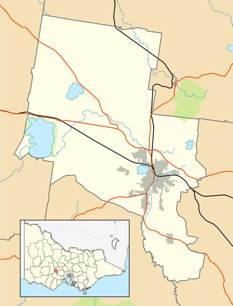
Addington is a small town in Victoria, Australia. It is located at the junction of Langi Kal-Kal Road and Edmonston Road, about 28 kilometres north-west of Ballarat.
Map of Addington VIC 3352, Australia
The town began as an agricultural settlement around Addington Railway Station. A state school opened in 1860 under the name Ercildoune, and the area was known to the postal service as Mount Bolton. The school changed its name to Addington in about 1900. The Post Office opened on 1 May 1858 as Mount Bolton, was renamed Addington in 1892 and closed in 1967.
References
Addington, Victoria Wikipedia(Text) CC BY-SA
