
District East Godavari Time zone IST (UTC+5:30) Elevation 183 m | Talukas Addateegala Vehicle registration AP Local time Thursday 1:04 PM | |
 | ||
Weather 35°C, Wind S at 10 km/h, 20% Humidity | ||
Addateegala forest
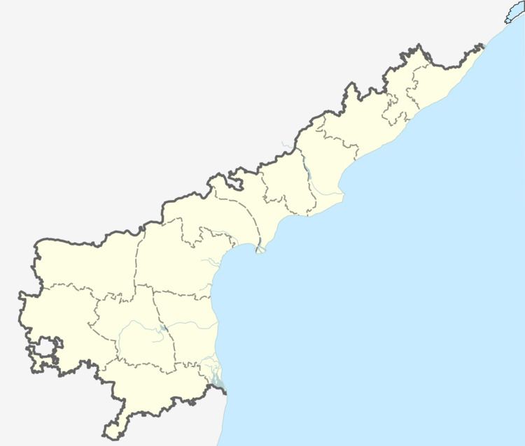
Adda-tee-gala is a village in East Godavari district in the state of Andhra Pradesh in India.
Contents
Map of Addateegala, Andhra Pradesh 533428
Geography
Addatigala is located at 17.4833°N 82.0167°E / 17.4833; 82.0167. It has an average elevation of 183 meters (603 feet).
Demographics
As of Census 2011, Addateegala has population of 6002 of which 3021 were males while 2981 were females, sex ratio is 987. Population of child (age 0-6) was 494 which makes up 8.23% of total population of village. Literacy rate of the village was 84.26%.
Panchayats
The following is the list of village panchayats in Addateegala mandal.
References
Addateegala Wikipedia(Text) CC BY-SA