
Population 561 (2011) Post town STAFFORD Local time Thursday 7:23 AM | Sovereign state United Kingdom Postcode district ST20 Dialling code 01785 | |
 | ||
Weather 4°C, Wind W at 24 km/h, 90% Humidity | ||
Adbaston is a village and a civil parish in the English county of Staffordshire.
Contents
Map of Adbaston, Stafford, UK
Location
The village is 13.0 miles (20.9 km) north east of the town of Stafford, and 18.4 miles (29.6 km) south east of Stoke on Trent. The nearest railway station is at Stone. The nearest main roads are the A41 which passes the village 4.7 miles (7.6 km) to the south west. The village is situated approximately halfway between towns of Eccleshall and Newport, Shropshire, and near the villages and hamlets of Cheswardine, Shropshire, and Woodseaves, High Offley and Knighton, Staffordshire.
Domesday Book
Adbaston is listed in the Domesday Book of 1086. In the survey the village has the name Edboldestone In the survey the settlement was described as quite small with only 5.8 households. Other Assets included 17 villager or villein, meadow of 15 acres, 40 smallholders and 1 slave. There was also 25 ploughlands (land for), 3 lord's plough teams, 13 men's plough teams. In 1066 the lord of the manor was held by Robert, Bishop of Chester. Before that the lord of the manor was said to have been previously Leofwine Bishop of Lichfield.
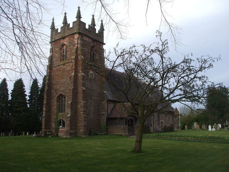
The village contains a church, "St Michael and All Angels", and a phone box. There was once a school but it closed due to diminishing numbers of children.