
Department Bas-Rhin Intercommunality Alsace Bossue Area 3.4 km² | Canton Ingwiller Population (2014) 388 Local time Thursday 7:19 AM | |
 | ||
Weather 6°C, Wind W at 34 km/h, 77% Humidity | ||
Adamswiller (German: Adamsweiler) is a French commune in the Bas-Rhin department in the Grand Est region of northeastern France.
Contents
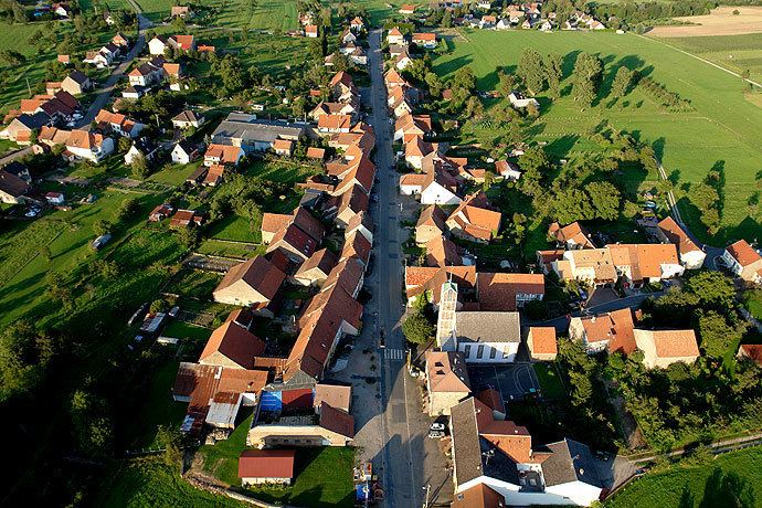
- Map of Adamswiller France
- Geography
- History
- Toponymy
- Administration
- Demography
- Civil heritage
- Religious heritage
- References
Map of Adamswiller, France
The inhabitants of the commune are known as Adamswillerois or Adamswilleroises
Geography
Adamswiller is located some 20 km north by north-west of Phalsbourg and 20 km south-east of Sarralbe. The D9 road from Mackwiller passes south through the western part of the commune on the way to Durstel in the south. The D182 runs off the D9 in the commune to Rexingen in the south-west. There is also the D239 road from the village going north-east to join the D919 road just outside the commune. The commune is mostly farmland with a little forest in the east.
The commune is renowned for its pink sandstone from the north-east of the commune which has been approved for the restoration of historical monuments.
The Eichel river forms the north-western border of the commune and the Marstbach forms the western border. The commune lies within the Northern Vosges Regional Natural Park.
History
The commune was formerly part of the County of La Petite-Pierre. Between Adamswiller and Mackwiller there have been found ancient tombs which have been given the name Totdenberg due to the heights on which they were found (The hill of the Dead).
Toponymy
In German: Adamsweiler.
Administration
List of Successive Mayors of Adamswiller
(Not all data is known)
Demography
In 2009 the commune had 387 inhabitants. The evolution of the number of inhabitants is known through the population censuses conducted in the commune since 1793. From the 21st century, a census of municipalities with fewer than 10,000 inhabitants is held every five years, unlike larger towns that have a sample survey every year.
Sources : Ldh/EHESS/Cassini until 1962, INSEE database from 1968 (population without double counting and municipal population from 2006)
Civil heritage
The commune has a number of buildings and structures that are registered as historical monuments:
Religious heritage
The commune has several religious buildings and structures that are registered as historical monuments: