
Population 5,642 (2011 census) Postal code 2289 | Postcode(s) 2289 State electorate(s) CharlestownNewcastle Area 3 km² | |
 | ||
Location 6 km (4 mi) WSW of Newcastle5 km (3 mi) NE of Charlestown | ||
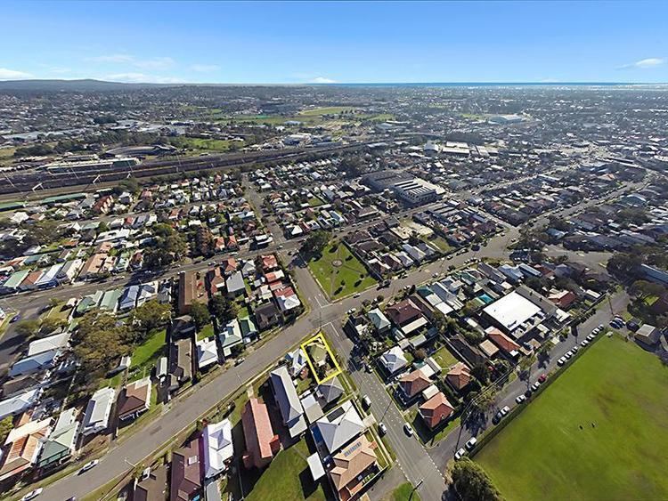
Adamstown is a suburb of Newcastle, New South Wales, Australia, located 6 kilometres (4 mi) from Newcastle's central business district. It is part of the City of Newcastle local government area.
Contents
Map of Adamstown NSW 2289, Australia
It has a railway station, opened in 1887 with the Newcastle–Gosford section of the Main North line. The now closed branch line to Belmont formerly left the main line just south of Adamstown Station. The town also includes the beginning of the Fernleigh Track, a multi-use rail trail near Belmont. The project is a joint venture between Newcastle City Council and Lake Macquarie City Council and extends from Adamstown to Belmont over an approximate distance of 15.5 km (10 mi).
The suburb of Adamstown had a population of 5,642 in 2011.
Education
A number of schools are located in the suburb:
Community support
Adamstown has a range of community support organisations. These include St Columbas Catholic Church and the Returned Serviceman's League sub-branch that is part of the Adamstown Community Club.