
Archipelago Actaeon Island Group Highest elevation 14 m (46 ft) Elevation 14 m | Area 15.65 ha (38.7 acres) | |
 | ||
Location | ||
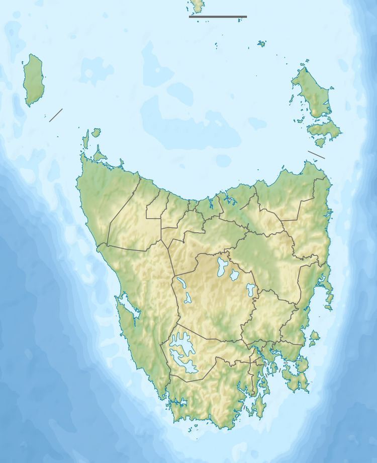
The Actaeon Island, part of the Actaeon Island Group, is a 15.65-hectare (38.7-acre) dolerite island and game reserve located at the southern entrance to the D'Entrecasteaux Channel between Bruny Island and the mainland, that lies close to the south-eastern coast of Tasmania, Australia.
Contents
Map of Actaeon Island, Tasmania, Australia
There is a navigation beacon on the highest point, 14 metres (46 ft) AHD .
Fauna
Recorded breeding seabird and wader species are the little penguin, short-tailed shearwater and sooty oystercatcher. European rabbits occur on the island and seals occasionally haul-out there. The metallic skink is present. The endangered orange-bellied parrot is historically from the Actaeon Island.
References
Actaeon Island Wikipedia(Text) CC BY-SA