
Time zone CET (UTC+1) Area code 0511, 0512 Area 104 km² | Elevation 2 m (7 ft) Postcode Parts of 9000 range Website www.achtkarspelen.nl Local time Wednesday 10:15 AM Team Harkemase Boys | |
 | ||
Weather 5°C, Wind SW at 18 km/h, 92% Humidity Points of interest Jardín botánico De Kruid, Museum Ot en Sien, Stichting IJstijdenmuseum | ||
Achtkarspelen ( [ɑxtˈkɑrspələ(n)]) is a municipality in Friesland in the northern Netherlands.
Contents
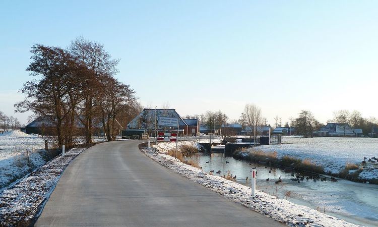
Map of Achtkarspelen, Netherlands
History
The name Achtkarspelen is derived from the original eight kerspelen within the grietenij, namely: Augustinusga, Buitenpost(Capital), Drogeham, De Kooten, Kortwoude, Lutkepost, Surhuizum and Twijzel. Achtkarspelen held a separate status within Friesland for many years. In the Middle Ages Achtkarspelen fell under the Bishopric of Münster, meanwhile the rest of Friesland was a part of the Bishopric of Utrecht. The grietenij Achtkarspelen became a Municipality in 1851 after the gemeentewet (Municipality law) of Johan Rudolf Thorbecke.
Population centres
The administrative centre in the municipality is Buitenpost.
References
Achtkarspelen Wikipedia(Text) CC BY-SA