
Municipality Acholibur Local time Wednesday 12:00 PM | Elevation 1,160 m | |
 | ||
Weather 32°C, Wind E at 18 km/h, 35% Humidity | ||
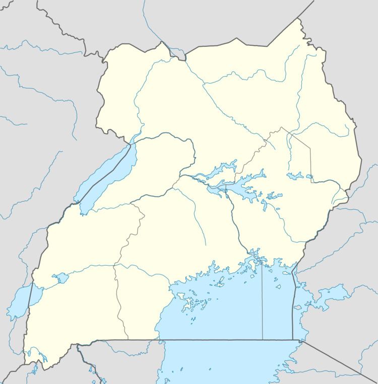
Acholibur is a town in Pader District in the Northern Region of Uganda.
Contents
Map of Acholibur, Uganda
Location
Acholibur is approximately 19 kilometres (12 mi), by road, south of Kitgum, the nearest large urban centre. The coordinates of Acholibur are 03°08'37.0"N, 32°54'49.0"E (Latitude:3.143611; Longitude:32.913611).
Points of interest
These are some of the points of interest in or near Acholibur:
References
Acholibur Wikipedia(Text) CC BY-SA