
Country Canada Postal code span T7X Area code 780 | Census division 11 Time zone Mountain (UTC-7) | |
 | ||
Region Edmonton Capital Region | ||
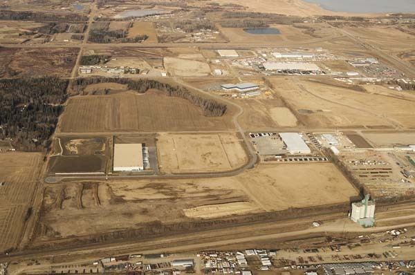
Acheson west industrial park located in acheson alberta
Acheson is a locality and an industrial area in Alberta, Canada within Parkland County.
Contents
- Acheson west industrial park located in acheson alberta
- Map of Acheson AB Canada
- Acheson Industrial Area
- References
Map of Acheson, AB, Canada
Acheson is located on the Canadian National main line and Highway 60 (Devonian Way) between Highway 16A (Parkland Highway) and Highway 16 (Yellowhead Highway). It is 3.2 km (2.0 mi) west of the City of Edmonton, 5.7 km (3.5 mi) east of the City of Spruce Grove, and 20 km (12 mi) north of the Town of Devon.
The locality is named after A. Acheson Tisdal, a railroad official. Acheson was founded as a repair facility for Canadian National with industrial development following in the 1970s. It is recognized as a major employment area by the Capital Region Board.
Acheson Industrial Area
The Acheson Industrial Area is the economic development hub of Parkland County. Its 10,000 acres (4,000 ha) of land is home to over 200 businesses. The Acheson Business Association established in 2004.
Within the Acheson Area Structure Plan, the industrial area borders the City of Edmonton to the east, Highway 16 to the north, Spruce Valley Road to the east, and Highway 628 to the south. Industrial parks within the Acheson Industrial Area include the Ellis Industrial Park, the Sherwin Industrial Park, and West Acheson Industrial.