
Time zone UTC -3 Local time Wednesday 4:45 AM | Dial plan +598 46 (+6 digits) Population 687 (2011) | |
 | ||
Weather 21°C, Wind W at 8 km/h, 93% Humidity | ||
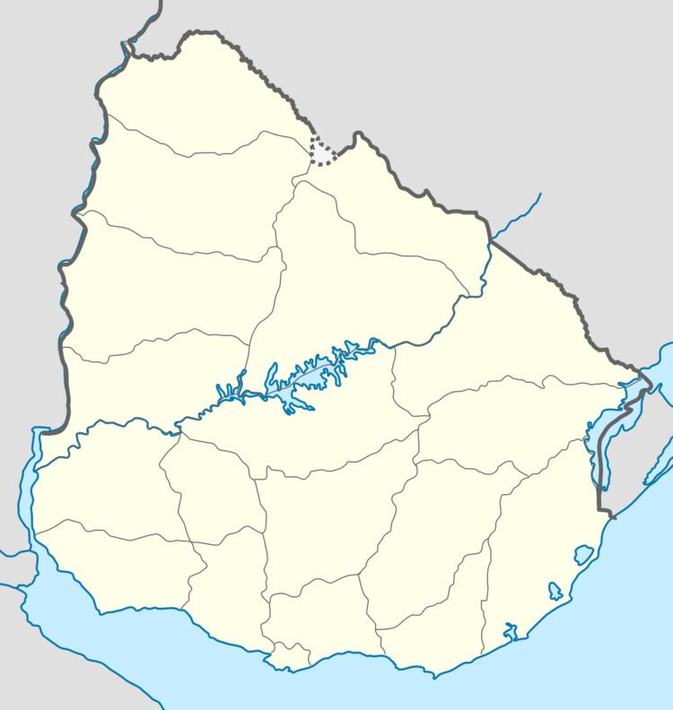
Achar is a village in the Tacuarembó Department of northern-central Uruguay.
Contents
- Map of 45001 Achar TacuarembC3B3 Department Uruguay
- Location
- History
- Population
- Places of worship
- Mars
- References
Map of 45001 Achar, Tacuaremb%C3%B3 Department, Uruguay
Location
The village is located on Route 43, 10 kilometres (6.2 mi) east of Route 5, on the intersection with the railroad track.
History
On 21 August 1936, the status of the populated centre here was elevated to "Pueblo" (village) by the Act of Ley Nº 9.587.
Population
In 2011 Achar had a population of 687.
Source: Instituto Nacional de Estadística de Uruguay
Places of worship
Mars
The name Achar has been used for a crater on the planet Mars by the International Astronomical Union, although not specifically commemorating the village.
References
Achar, Uruguay Wikipedia(Text) CC BY-SA