
OS grid reference NO127456 Sovereign state United Kingdom Postcode district PH10 Local time Wednesday 7:37 AM | Post town BLAIRGOWRIE Dialling code 01250 | |
 | ||
Weather -1°C, Wind W at 18 km/h, 87% Humidity | ||
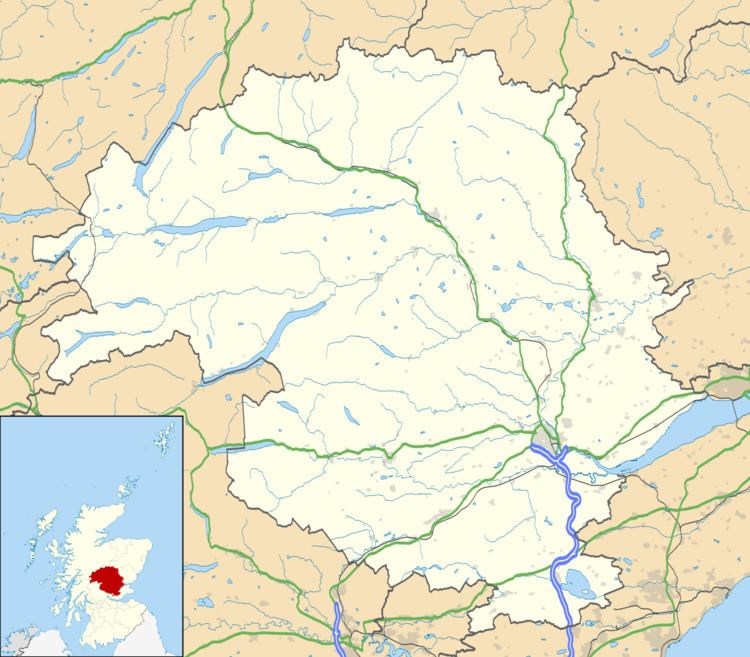
Achalader (Scottish Gaelic: Achadh Chaladair) is a settlement in the council area of Perth and Kinross, Scotland.
Map of Achalader, Blairgowrie, UK
Achalader is situated 3 miles (5 km) to the west of Blairgowrie, to the north of the A923 road.
References
Achalader Wikipedia(Text) CC BY-SA