
Country Venezuela Municipality Páez Municipality Demonym(s) Acarigüeño (a) Elevation 195 m Local time Tuesday 11:24 PM Number of airports 1 | State Portuguesa State Founded September 29, 1620 Time zone VST (UTC-4:30) Area 175 km² Area code 0255 | |
 | ||
Weather 27°C, Wind N at 16 km/h, 55% Humidity | ||
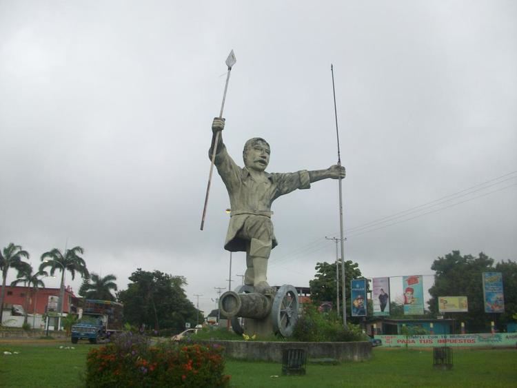
Acarigua araure portuguesa moto taxis
Acarigua ([akaˈɾiɣwa]) founded as San Miguel de Acarigua is a city in northwestern Venezuela, in the northern part of the state of Portuguesa.
Contents
- Acarigua araure portuguesa moto taxis
- Map of Acarigua Portuguesa Venezuela
- Demographics
- Religion
- Fauna
- Flora
- Protected areas
- Media
- Transport
- Sports
- References
Map of Acarigua, Portuguesa, Venezuela
Formerly the state capital, it is a major commercial center for the northern Llanos region of South America. It is contiguous with the neighboring city of Araure.
Demographics
The city's population was 116,551 in 1990 and was estimated at 208,495 in 2008.
Religion
Its Cathedral Catedral de Nuestra Señora de la Corteza is the episcopal see of the Roman Catholic Diocese of Acarigua–Araure.
Fauna
The Thysania agrippina is one of the world's largest moths, with wings 32 centimetres (13 in) in size.
Flora
The Saman or Samanea saman is the most widespread tree throughout the city.
Protected areas
Media
Acarigua is home to 3 regional newspapers, and the community TV station Siguaraya TV.
Transport
Acarigua is served by the Oswaldo Guevara Mujica Airport.
Sports
It is home to Portuguesa FC, whose home stadium is the Estadio General José Antonio Paez.