Elevation 1,689 m | Last eruption 2080 BC ± 200 years | |
 | ||
Similar Kula, Göllü Dağ, Mount Karadağ, Sousaki volcano, Mahya Dağı | ||
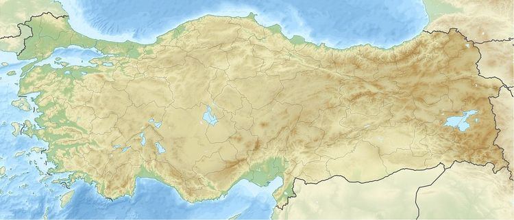
Acıgöl–Nevşehir is a volcano in Turkey with an elevation of 1,689 metres (5,541 ft).
Map of Ac%C4%B1g%C3%B6l-Nev%C5%9Fehir, 50000 Bo%C4%9Faz K%C3%B6y%C3%BC%2FNev%C5%9Fehir Merkez%2FNev%C5%9Fehir, Turkey
It is a caldera volcano about 7 by 8 km wide and is traversed by the national highway from Acıgöl to Nevşehir.
References
Acıgöl–Nevşehir Wikipedia(Text) CC BY-SA
