Region Central Region Elevation 80 m | Time zone GMT Local time Tuesday 9:15 PM | |
 | ||
District Abura-Asebu-Kwamankese District Weather 28°C, Wind S at 8 km/h, 82% Humidity | ||
Abura-Dunkwa is a small town and the capital of Abura-Asebu-Kwamankese District, a district in the Central Region of south Ghana.
Contents
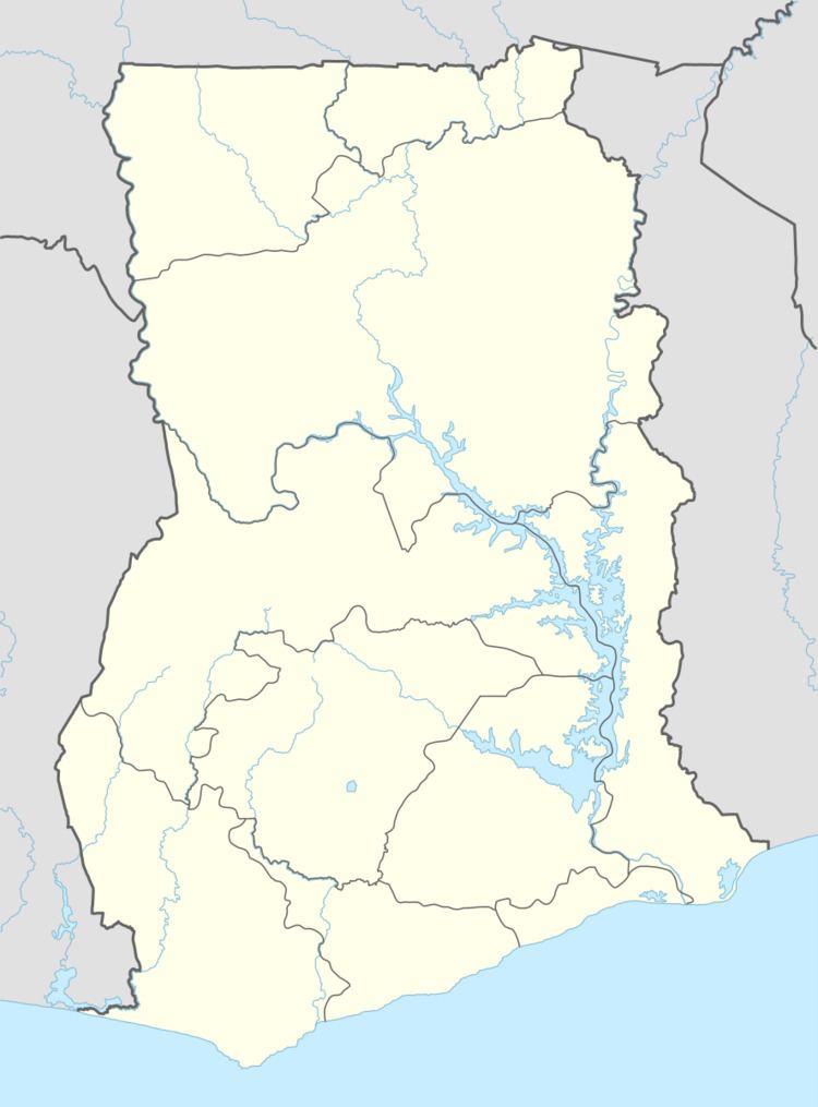
Map of Abura Dunkwa, Ghana
Topography
Abura-Dunkwa is low-lying with loose quaternary sands and it rises up to 80 metres above sea level. The town is drained by a number of rivers and streams, including the Offin River, Birim River and small streams.
Education
Abura-Dunkwa is known for the Dunkwa secondary technical school, Boa Amponsem, Oxford, and St Andrews secondary schools. The school is a second cycle institution.
Transport
Abura-Dunkwa is a junction station on the narrow gauge Ghana Railway system.
References
Abura-Dunkwa Wikipedia(Text) CC BY-SA
