Local time Tuesday 10:27 PM | Area 2.59 km² Municipality Al Shamal | |
 | ||
Weather 16°C, Wind N at 5 km/h, 73% Humidity | ||
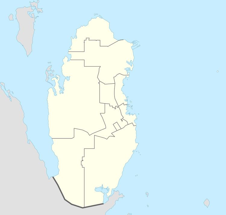
Abu Dhalouf is a settlement on the north coast of Qatar, located in the municipality of Madinat ash Shamal. It was demarcated in 1988 and is bounded by Al Shamal City to the east.
Contents
Map of Abu az Zuluf, Qatar
History
J.G. Lorimer's Gazetteer of the Persian Gulf gives an account of Abu Dhalouf in 1908:
A village on the north-west coast of the Qatar Promontory, near its tip and 1 or 2 miles south-west of Ar Ru'ays. It is difficult of approach from seaword being fronted by a reef 2 1/2 miles broad which is nearly dry at low weater. The inhabitants are about 70 families of the Manan'ah (Al Mannai) tribe owning 20 pearl boats [manned by 200 men], 5 other sea-going vessels and 10 fishing boats. Their drinking water is from the well of Umm Dha'an, about 1 1/2 miles inland. Camels here number 30.
Lorimer also states that prior to 1856, the village was inhabited by about 50 men of the Bu Kuwara (Kuwari) tribe.
Education
The settlement's first formal school was opened in 1957.
