
Time zone EET (UTC+2) | Population 14,283 (2004) | |
 | ||
Air attack to dael an abtaa at syria
Abtaa (Arabic: أبطع, also spelled Ibta' or Obtei'a) is a town in southern Syria, administratively part of the Daraa District in the Daraa Governorate. Nearby localities include Da'el to the south, Khirbet Ghazaleh to the southeast, Namer to the east, Qarfa to the northeast and al-Shaykh Maskin to the north. According to the Syria Central Bureau of Statistics Abtaa had a population of 14,283. Its inhabitants are predominantly Muslims.
Contents
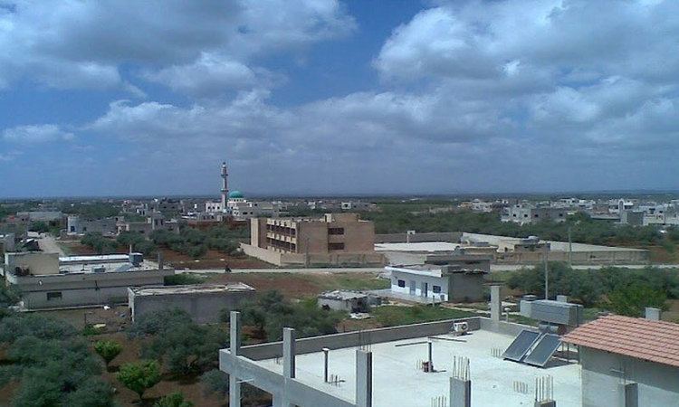
Map of Ibtta, Syria
Air attack to abtaa at syria
History
In 1596 Abtaa appeared in the Ottoman tax registers as Bita' and was part of the nahiya of Bani Malik al-Asraf in the Qada of Hauran. It had an entirely Muslim population consisting of 44 households and 20 bachelors. Taxes were paid on wheat, barley, summer crops, goats and beehives.
In the 1850s the Western traveler Josias Leslie Porter noted that Abtaa contained a number of large "old houses of basalt, and a few broken columns."